Trends
GPS Drawing Runs in Seoul: The 8 km Dog-Shaped 'Daengdaeng Run' Route and How to Try It
AT A GLANCE
- What
- You follow a planned route and your phone's recorded line becomes a picture
- Seoul example
- Dog-shaped 8 km route: Gwanghwamun, Gyeongbokgung, Samcheong-dong, Insadong
- Name
- Daengdaeng Run (daengdaeng is a playful Korean word for a dog)
- Needs
- A route file or map and a running app that records your path
GPS drawing is running a planned route so that the line your phone records forms a picture. In Seoul, the best-known example is a dog-shaped course called the Daengdaeng Run. Daengdaeng is a playful Korean word for a dog, and it describes the picture on the map. You do not need a dog. This guide explains how it works, the documented 8 km course, a copyright note and etiquette for shared streets. Checked on 2026-10-12.
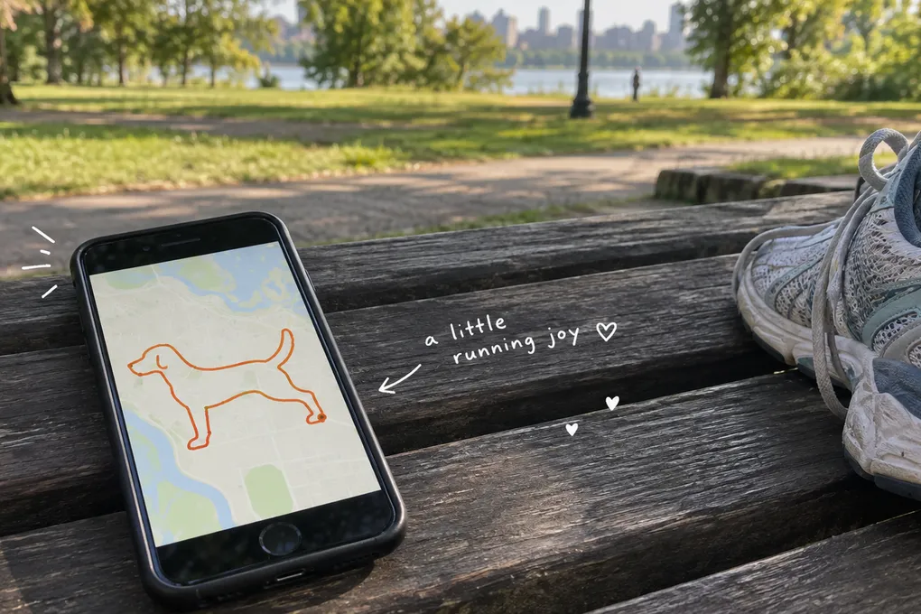
The hero image is AI-generated. The dog-shaped map is an illustration, not a usable route or an app screenshot.
How it works
You choose a route file or map, run it with an app that records your path, and the finished track forms a shape. The map is the paper, and your movement draws the line. Seoul’s version is associated with Gyeongbokgung, a former royal palace in the city center, and the streets around it.
The documented 8 km course
MBC’s program preview of “I Live Alone” (aired November 7, 2025) describes a dog-shaped 8 km route in Jongno that starts at Gwanghwamun and passes Gyeongbokgung Palace, Samcheong-dong and Insadong before returning to the start (MBC preview, in Korean). Samcheong-dong and Insadong are neighborhoods with small streets, shops and visitors.
This describes one particular course, not every route called a dog run. Different starting points and shared route files can send you along different streets, so check the actual map, distance, slopes and road crossings before running.
The copyright story
A July 2024 report describes the registration of a specific “Dog Run” GPS data file as a compilation work (Asia Economy report, in Korean). That was an earlier development, not a new registration in 2026. The report concerns the selection and arrangement of route data. It does not establish blanket ownership of public streets or every dog-shaped drawing. Check the route creator’s terms before sharing or reusing a file.
Etiquette on shared streets
- Look through the route first, including distance, slopes and road crossings.
- Use an app that records your route, and check your battery before starting.
- Run or walk at your own pace, and stop if the distance is too much.
- Give pedestrians space, keep noise down in residential streets and follow traffic signals.
- Use public paths and current access rules. A line on a shared map is not permission to enter a closed area.
- Never cut across traffic or block a narrow lane for a perfect drawing. You can make a much smaller design near home.
Good for / not for
Good for
- Runners who are tired of the same loop
- People who like walking or jogging with a goal
Not for
- Anyone who wants a guaranteed exact route. Route files and street conditions vary.
For race ideas, see Seoul running races.
Sources
- MBC, “I Live Alone” Daengdaeng Run preview https://enews.imbc.com/Tpl/View/483099?category=011000000&progcode=1002831100000100000
- Asia Economy, GPS route copyright registration (2024-07) https://www.asiae.co.kr/article/2024071513581426129
Checked on 2026-10-12. The 8 km course is a published description. Current access and the distance of any route file still need checking.